

We like to believe we understand how the world works, where countries are located and how history played out, but time, geography and Mother Nature are much stranger than our brains imagine.
Russia and the United States are less than four kilometres apart
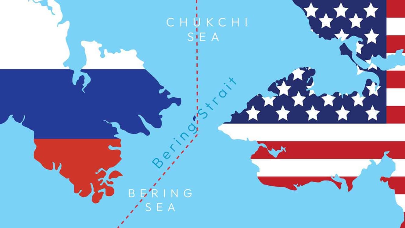
Russia and the USA seem so far away on most maps, but look again at the Diomede Islands in the Bering Strait. Russia’s Big Diomede Island and America’s Little Diomede Island sit just 3.8 kilometres (2.4 miles) apart. The two islands are divided by the International Date Line, so they are almost a day apart.
Saudi Arabia imports sand and camels from Australia
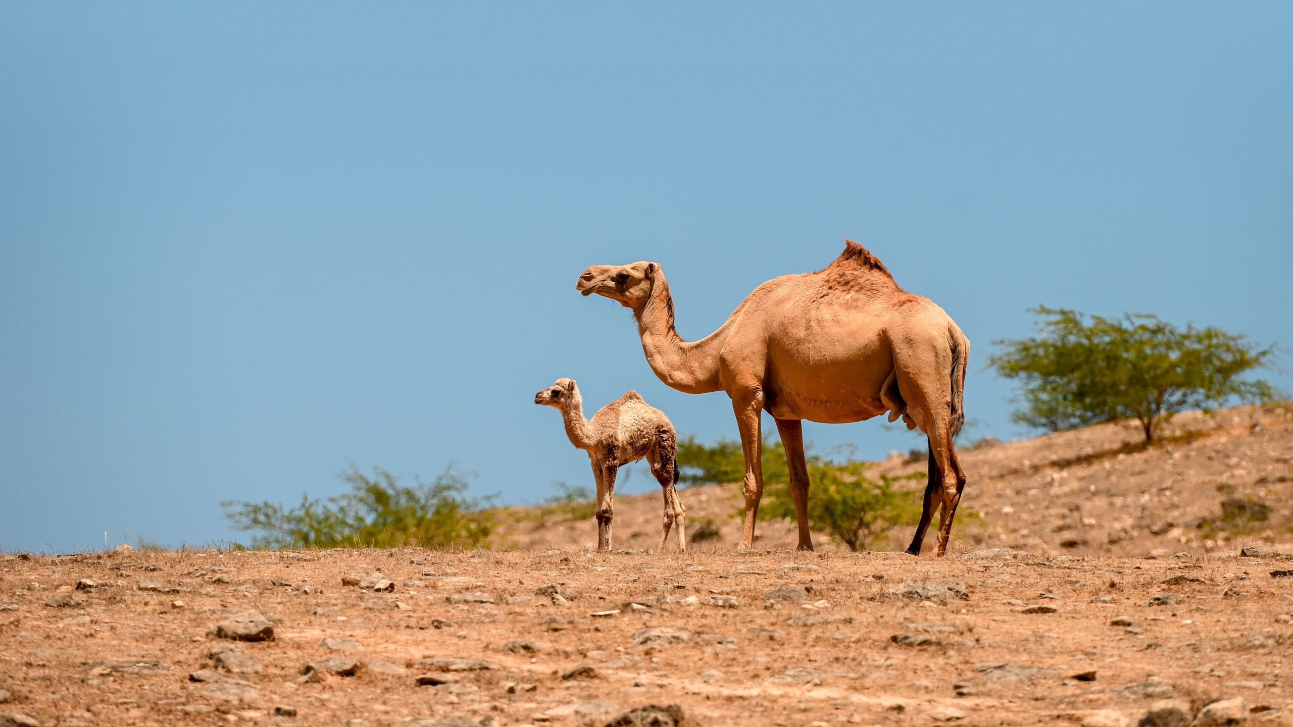
It’s like shipping ice to the Arctic, but Saudi Arabia imports sand and camels from Australia. Wind-blown desert sand in the Middle East is too fine-grained and smooth to use in construction projects like concrete. Australia exports large, gravel-like grains of river sand with enough texture to hold structures together.
Australia also has an overpopulation of wild feral camels, which Saudi Arabia imports and uses for camel breeding, camel racing and meat.
France’s longest land border is with Brazil
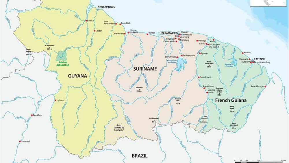
It sounds geographically impossible until you think of French Guiana. As French Guiana is legally part of France as an overseas department and region, its border with Brazil is considered part of France’s international borders. At about 730 kilometres, it’s longer than France’s borders with Spain, Germany or Belgium.
Africa stretches into all four hemispheres
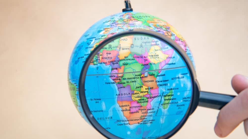
The Equator passes through Africa. This puts parts of Africa in both the Northern and Southern Hemispheres. Africa is also crossed by the prime meridian, which puts land in both the Eastern and Western Hemispheres. This makes Africa the only continent to have significant land area in all four hemispheres.
Maine is the closest U.S. state to Africa
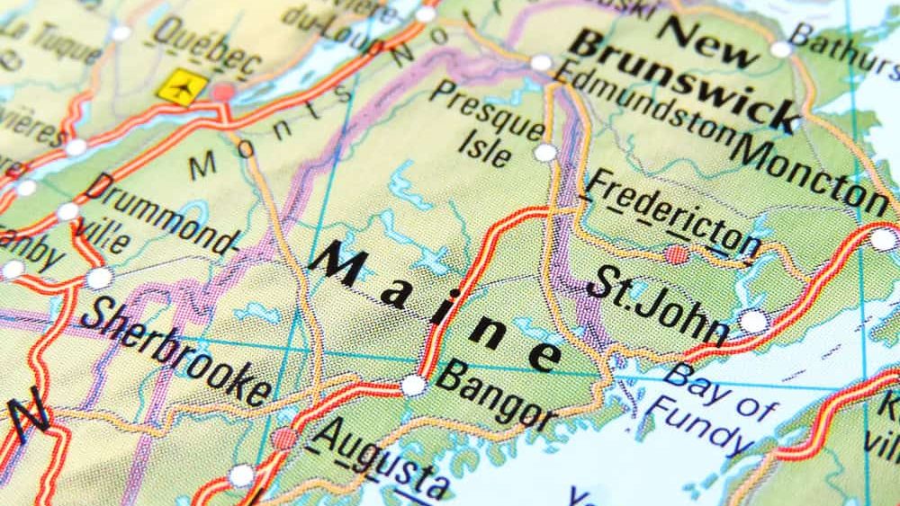
Looking at a normal flat Mercator map, your intuition may say Florida or Georgia is the closest US state to Africa. But Maine actually has the easternmost point in the United States. Quoddy Head Lighthouse in Maine is only 3,154 miles away from El Aaiún, Western Sahara, across the Atlantic.
Nintendo was founded when Jack the Ripper was still active
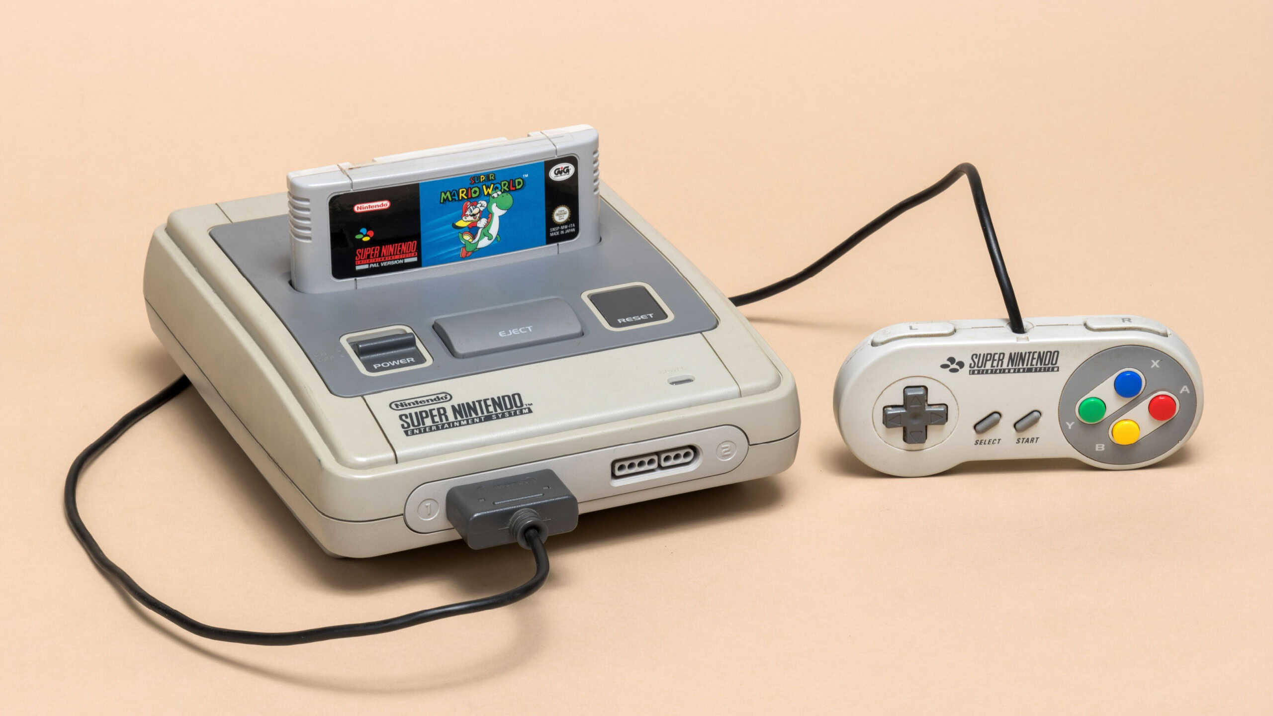
When we think of Nintendo, we think of 8-bit consoles, Mario, and technologically advanced video games. What many people don’t know is that Nintendo was founded on September 23, 1889, in Kyoto, Japan, as a handmade playing card company. Nintendo was operating during the time of Jack the Ripper, who was active in 1888–1889, and during the days of the Wild West.
North Korea and Norway are separated by only one country
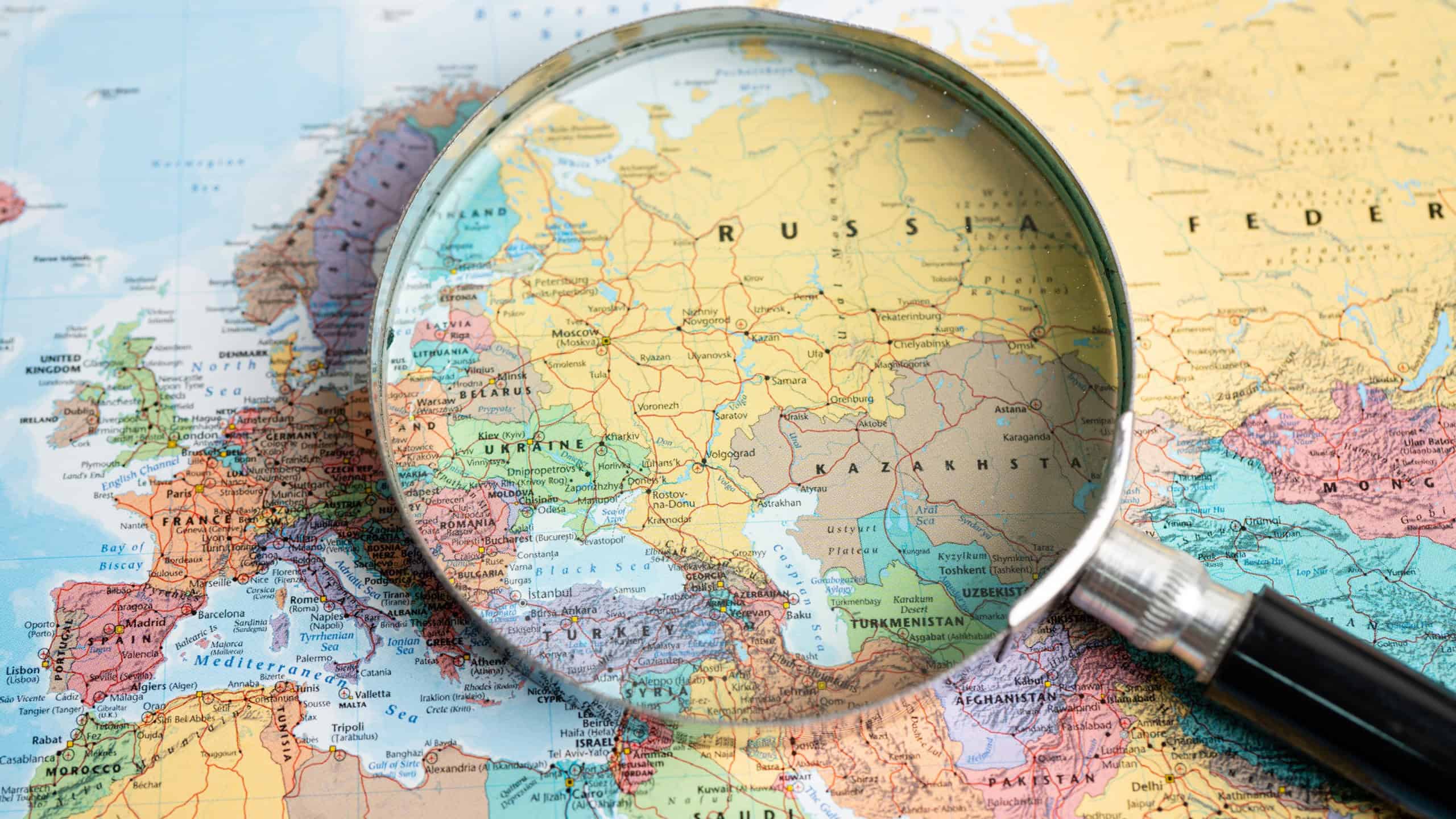
It sounds like a trick, but it’s real geography. Norway has a land border with Russia up north. Russia covers nine time zones throughout Eurasia. It has a land border with North Korea at its far eastern corner on the Tumen River. So Russia is the only country between Norway and North Korea.
A day on Venus is longer than its year
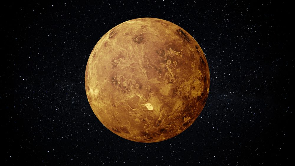
Venus rotates once on its axis every 243 Earth days when measured against the stars. However, it orbits the Sun every 225 Earth days. So in that way, a day on Venus is longer than a year on Venus.
Russia has a larger surface area than Pluto
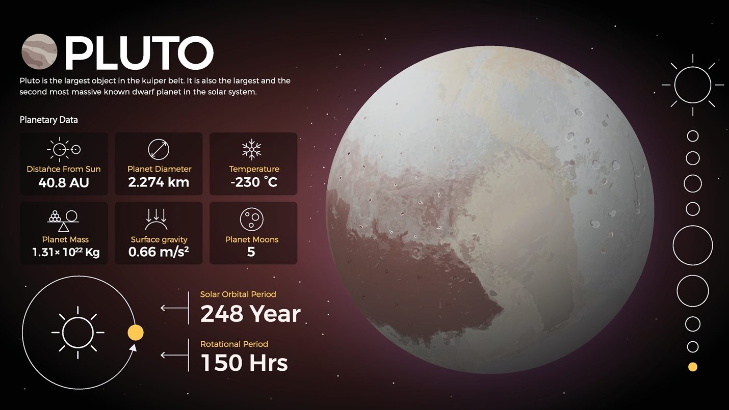
Sure, Pluto is considered a dwarf planet. However, it is still a cosmic body. Pluto has a surface area of about 16.7 million square kilometers. The largest country on Earth by area is Russia, which has about 17.1 million square kilometers. Russia could cover the entire surface of Pluto and not fit!
Alaska is the northernmost, easternmost, and westernmost U.S. state

Alaska is clearly the state farthest north, and its location in the country makes it indisputably west. However, because the Aleutian Islands extend across the Pacific Ocean past the 180th Meridian (where the International Date Line demarcation occurs), Semisopochnoi Island technically lies in the Eastern Hemisphere. This means Alaska is geographically the northernmost, westernmost, and easternmost state in the U.S.
The time gap between Stegosaurus and T. rex is bigger than T. rex and humans
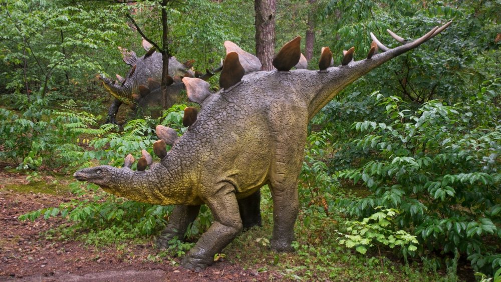
Movies place all dinosaurs that roamed the Earth together, in one big jungle. But really, Stegosaurus lived in the Late Jurassic period, approximately 150 million years ago. Tyrannosaurus rex wasn’t around for another 84 million years, in the Late Cretaceous period (66 million years ago). So there was about 84 million years between Stegosaurus and T. rex.
We humans, didn’t come around for another 66 million years after T. rex. Tyrannosaurus Rex is closer to modern times than Stegosaurus was.
The Atlantic end of the Panama Canal is west of the Pacific end
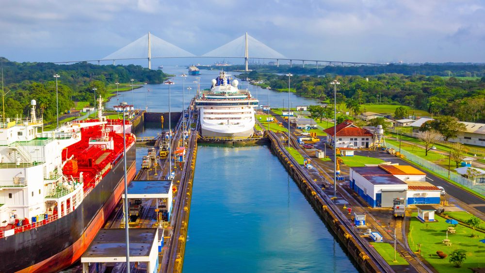
The Isthmus of Panama has such an irregular “S” curve that Panama is wider going west- to east-wise rather than north-to south-wise. If you were to travel in a ship from the Atlantic Ocean (north side) through the Panama Canal, you would be headed southeast towards the Pacific Ocean (south side). Therefore, the Atlantic entrance is west of the Pacific exit.
Hawaii moves closer to Japan by about 7 centimeters every year
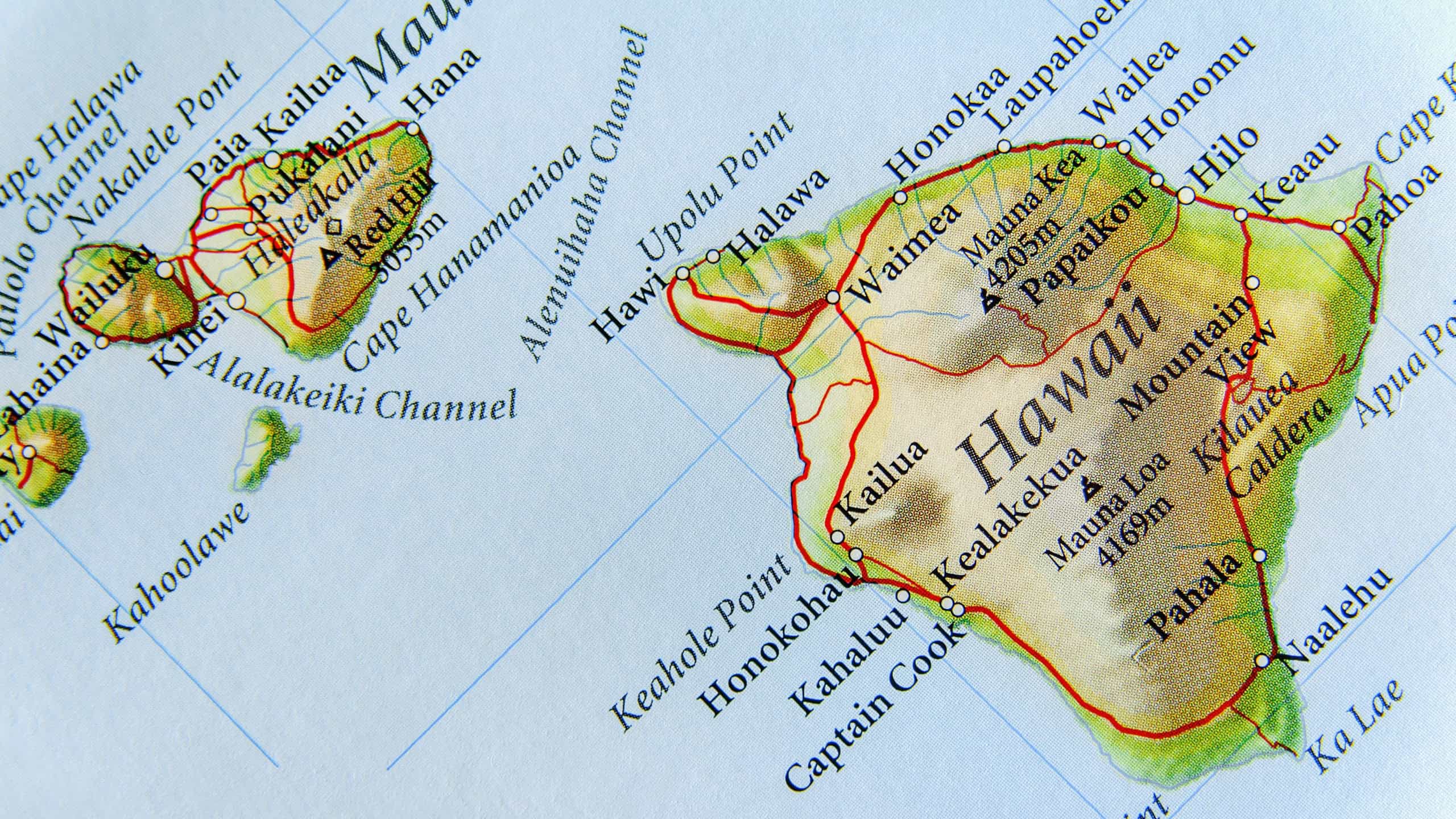
Hawaii doesn’t rest on a fixed spot of ocean floor. Rather, the island of Hawaii sits atop the Pacific Tectonic Plate. The Pacific Plate is slowly moving northwestward toward the Eurasian Plate at about the rate that fingernails grow (7 to 10 centimeters/year). As a result, Honolulu is approximately 15 feet closer to Tokyo today than it was in 1959, when Hawaii joined the Union.
There are places in the ocean farther from land than astronauts are from Earth

Point Nemo is about 2,700 kilometres away from any land. The International Space Station orbits at an average height of only 400 kilometres above Earth’s surface. That means that when the ISS passes near this remote part of the Pacific, the humans in space can be much closer than anyone standing on land.
Sources: Please see here for a complete listing of all sources that were consulted in the preparation of this article.
Like our content? Be sure to follow us.
15 funny facts you didn’t need to know, but we still like
You probably didn’t need these facts, but you’ll be glad you know them anyway.


