

Most cities grow where there’s at least a somewhat practical reason to be there, but some city planners took the harder route.
The city above frozen ground
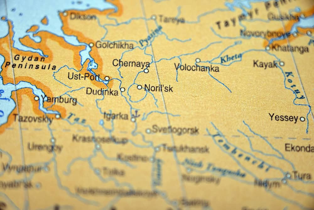
There’s a city around 300 kilometers north of the Arctic Circle called Norilsk. That fact alone tells you that it wasn’t an easy place to build a city, and the reality only supports that. The ground in this Russian city stays frozen year-round.
Temperatures in winter can, and often do, drop below minus 58 degrees Fahrenheit. Still, the Soviet Union decided to establish Norilsk in the 1930s because there were huge nickel and metal deposits nearby. A lot of the later buildings were put on piles driven into permafrost. That way, the indoor heat wouldn’t thaw the ground underneath.
Diamonds changed the map
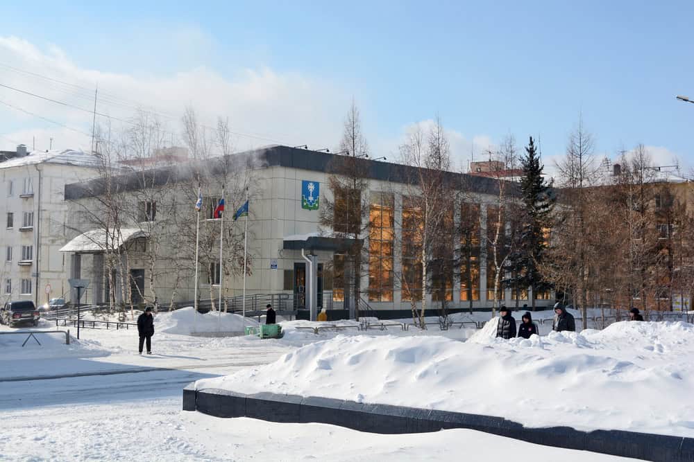
It doesn’t seem like there’d be any good reason to make a town in this part of Siberia. The winter temperature often falls under minus 58 degrees Fahrenheit, for one, and building roads is a real headache. Yet the Soviets still did it.
It all began when geologists discovered the Mir kimberlite pipe in 1955. That discovery suddenly attracted thousands of workers who were ready to start mining. The city of Mirny was born. The local people built an open pit, and it eventually became more than a kilometer wide. In other words, it’s a city that grew around an enormous hole in the frozen landscape.
A town followed the rockets
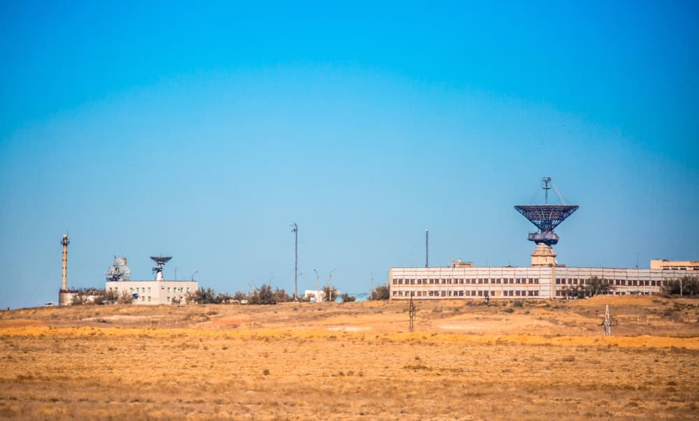
Let’s get one thing straight, nobody built Baikonur in Kazakhstan because they thought it was a nice area. No, it’s because the Soviet Union needed a huge, isolated area for missile testing and space launches. Construction began in the area in 1955.
They chose this area because it was so dry and open, as well as pretty empty. The city today has schools, apartment blocks, and shops, but it wasn’t always that way. The early workers lived in tents and huts. It’s hard to believe that Sputnik and Yuri Gagarin left Earth from nearby.
Oil arrived before the city
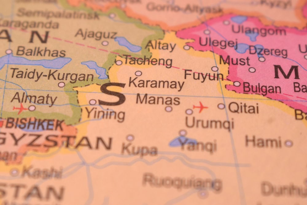
Karamay is located in one of the driest areas of the Gobi Desert with very little water, and no real reason to be there. Then locals found oil. Soon after, a major commercial well started producing in 1955, and it was just a few years later that China officially established Karamay as a city.
It’s not exactly a nice place to be, though. Rainfall is under 130 millimeters a year in parts of the city, and evaporation rates can be more than 3,500 millimeters. In other words, it’s pretty dry. But the oilfield matters far more than the weather, and it didn’t take long for roads and housing to show up.
Uranium brought the crowds
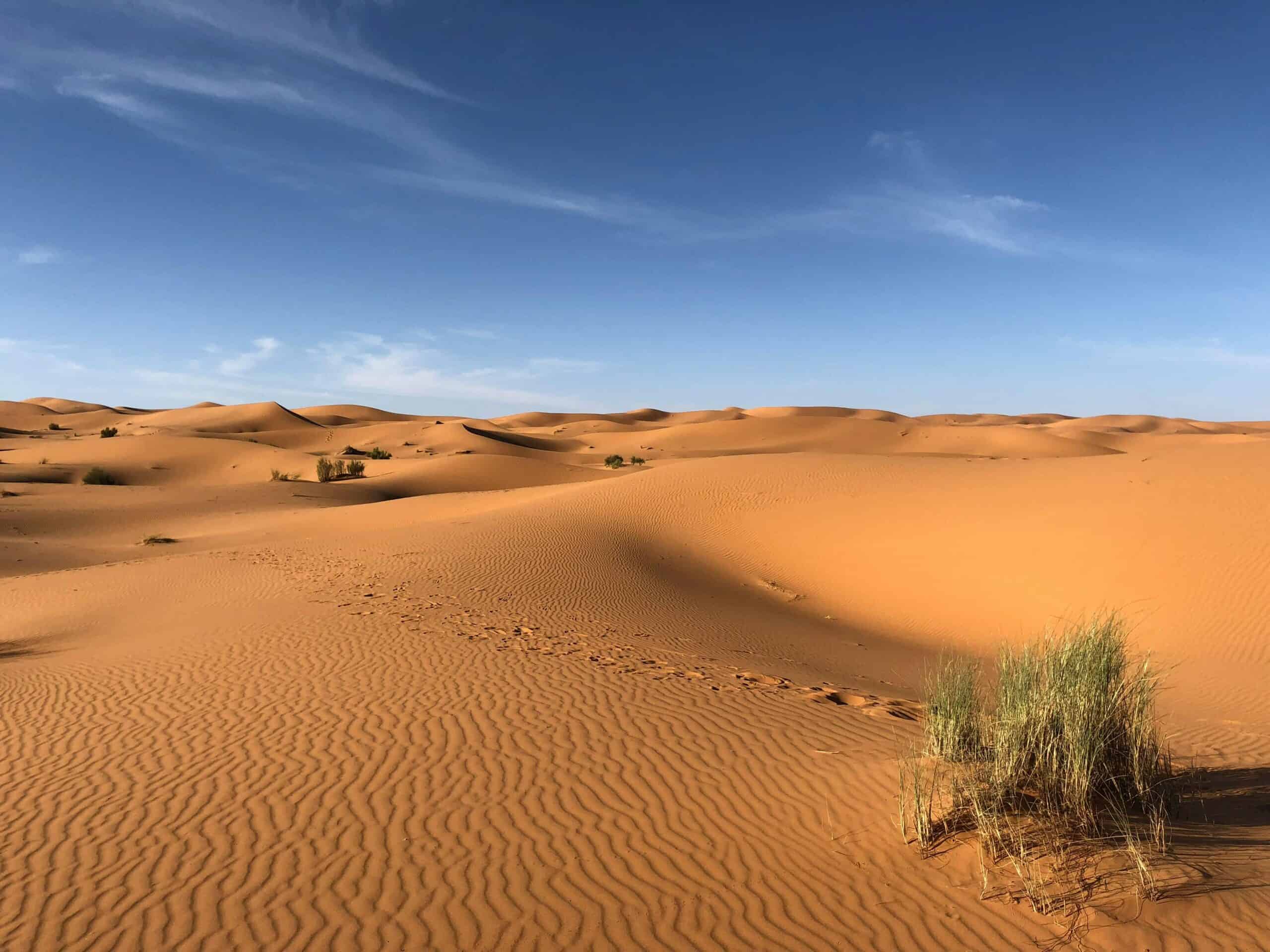
You’ll find the city of Arlit sitting in northern Niger, deep in the Sahara Desert. Yes, that Sahara Desert. It’s the kind of place where daytime temperatures can be higher than 122 degrees Fahrenheit, and the annual rainfall is barely 40 millimeters.
It’s the sort of place you’d want to cross quickly, not settle permanently. That is, until explorers discovered uranium. Mining operations expanded during the 1960s, and the city of Arlit grew around them.
A capital rose from the dunes
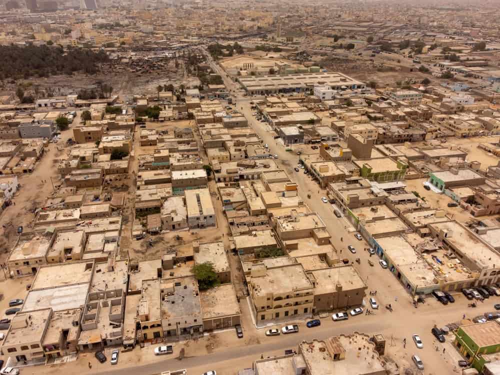
Mauritania was a country that desperately needed a capital in the 1950s, before it became independent. The government chose Nouakchott as the capital. That’s despite the fact that it’s little more than a small settlement near the Atlantic, with the bad environment to match.
For starters, there’s sand almost everywhere. Freshwater supplies are very limited, too, and most of the surrounding ground consists of dunes or salty soil. Not exactly the best place to start building. The government did it anyway.
Gold beat the oxygen shortage
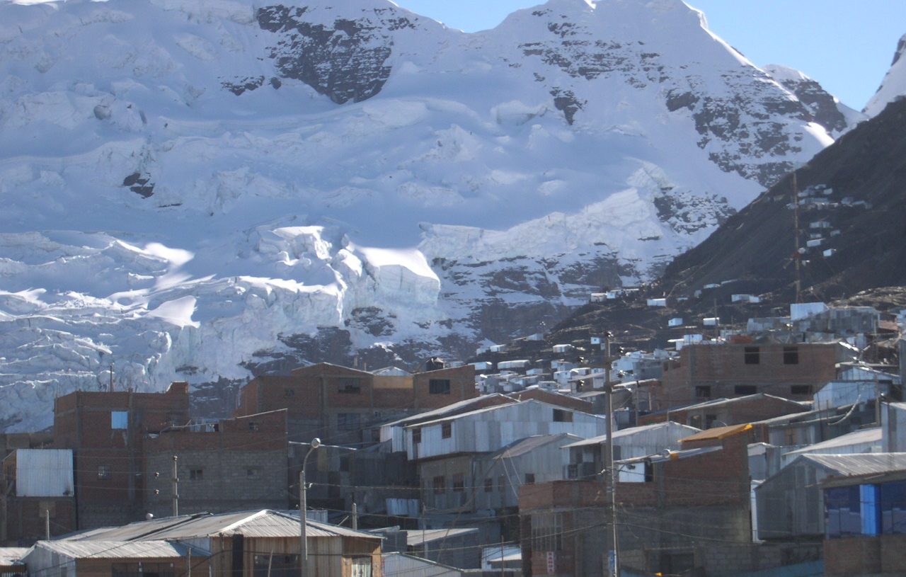
We’ve mostly looked at places on the ground, but now it’s time for somewhere a little higher. Much higher, in fact. La Rinconada is a settlement that sits around 5,000 to 5,300 meters above sea level in the Peruvian Andes. It’s so high that there’s less usable oxygen than down at sea level.
That fact causes all sorts of issues, including breathing problems for anyone not used to living there. But there’s a reason why the city was built. Gold. Some mines are located 5,500 meters above sea level, just to find those special ores.
Home moved beneath the sandstone
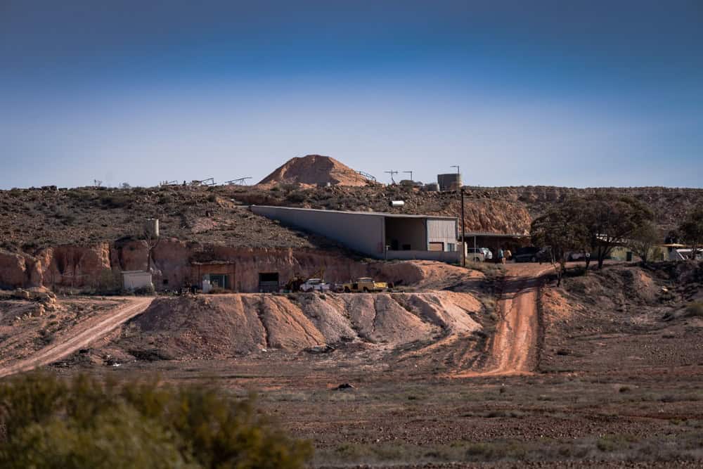
Coober Pedy is a town in Australia that suffers from a serious heat problem. But rather than simply put up with it, the residents decided that they’d just go underground instead. It all started when locals discovered opals in the area in 1915. Miners soon arrived, despite the fact that summer temperatures could be as high as 116 degrees Fahrenheit.
To make matters worse, water was scarce. Shade was limited, too. It got to the point where miners decided to carve homes directly into the sandstone, as these ‘dugouts’ were far cooler than the buildings on the surface.
The railway made it possible
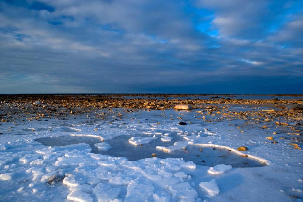
In far north Manitoba, Canada, lies Churchill, right next to Hudson Bay. It’s not a place you can simply drive to. The modern town first began after engineers pushed a railway across muskeg and tundra. They had to fight their way through permafrost, too, before finally reaching Churchill in 1929. The port came soon after.
It was pretty important for them to create all this infrastructure because the town is around 1,400 kilometers northeast of Winnipeg. It’s surrounded by subarctic terrain, so you can’t exactly get a delivery there. No railway and no port would’ve made life a lot harder.
Streets on a lava route
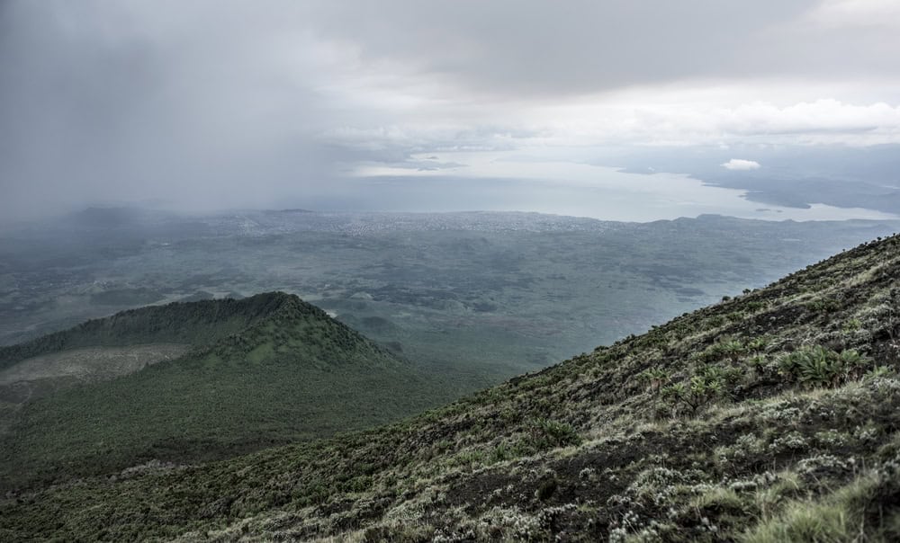
Time to turn up the temperature. This time, it’s the city of Goma, which sits almost directly in the path of Mount Nyiragongo in Africa. Mount Nyiragongo is one of the continent’s most active volcanoes, and lava has actually crossed parts of the city at times.
In 1906, the Belgians created a military post there. Goma’s central district began to appear three decades later, and the city continued to expand, despite the lava. One of the worst volcanic eruptions came in 2002, when lava destroyed thousands of homes. But people rebuilt anyway.
The metropolis above the clouds
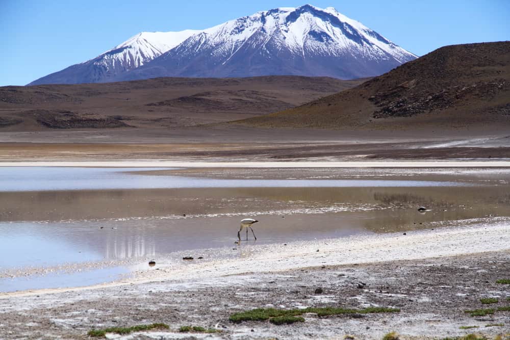
El Alto is another place high up in the mountains. The city is spread across Bolivia’s Altiplano above La Paz and is around 4,150 meters above sea level. That’s pretty high. Surprisingly enough, it contains rail lines and an airport, despite being so elevated.
El Alto became its own municipality in 1985 and officially gained city status in 1988. Since it’s so high up, the air pressure is a lot lower, too, and so is the amount of oxygen. But a huge city grew there anyway.
First came the ground itself
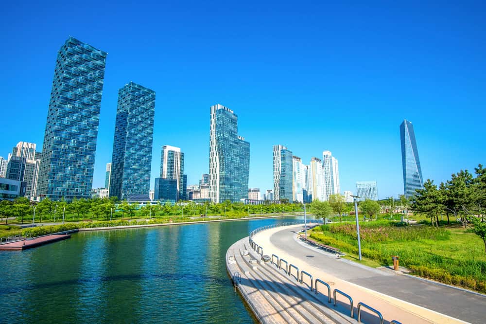
Songdo, South Korea, needed something before it could get skyscrapers and parks. It needed ground. The country began the Songdo New Marine City project near Incheon in 1994 by filling coastal mudflats and shallow water with sand.
That’s when the city began climbing upward. The city’s International Business District covers around 1,500 acres of reclaimed land that was formerly tidal flats. You’d never guess that, though. The city just looks so impressive.
The grid beside the faults
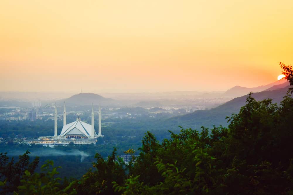
The Pakistani government decided in 1959 that it was going to build a new capital city, and it chose for it to be Islamabad the very next year. They started to build roads and neighborhoods shortly after. But here’s the kicker.
This is one of the most earthquake-prone areas in the country because it’s right above tectonic plate boundaries. There are several faults and thrusts running in and around the city. Despite the earthquake risk, though, it’s a place where over 2.36 million people live.
Sources: Please see here for a complete listing of all sources that were consulted in the preparation of this article.
People share the 10 American cities they never want to go to again

Some American cities look great in photos, but still, they’re bad enough to make some people think that one visit is enough, and they’re never going to go back.
People share the 10 American cities they never want to go to again

