Route 50 is a highway that seems to stretch forever. There’s nothing but open desert & jagged mountain ridges on either side, along with a sky so wide it almost feels fake. Unsurprisingly, it’s this sense of solitude that made the route so famous, granting it the nickname “the loneliest road in America.” What’s so strange about this road? That’s what we’re going to find out.
Featured Image Credit: Shutterstock.
Key takeaways

Here’s what’s coming up:
- Where & when the nickname actually started
- How Nevada turned it into an attraction
- Some surprising history underneath the asphalt
What the nickname refers to
In July 1986, Life magazine ran a piece calling the Nevada section of highway 50 “The Loneliest Road in America,” a name that they meant literally. The road was long & remote, with very little traffic. However, locals weren’t exactly offended because the phrase was catchy, and before long, it became the route’s unofficial title.
How the state acknowledged the label

Nevada embraced the name instead of pretending the nickname didn’t exist. Tourism officials began printing “survival guides” for people driving the highway, which included mileage charts & town stops. They also had space for stamps at each town to prove you made the full journey. After completing the booklet, you could mail it in for a certificate.
Where U.S. 50 runs across Nevada
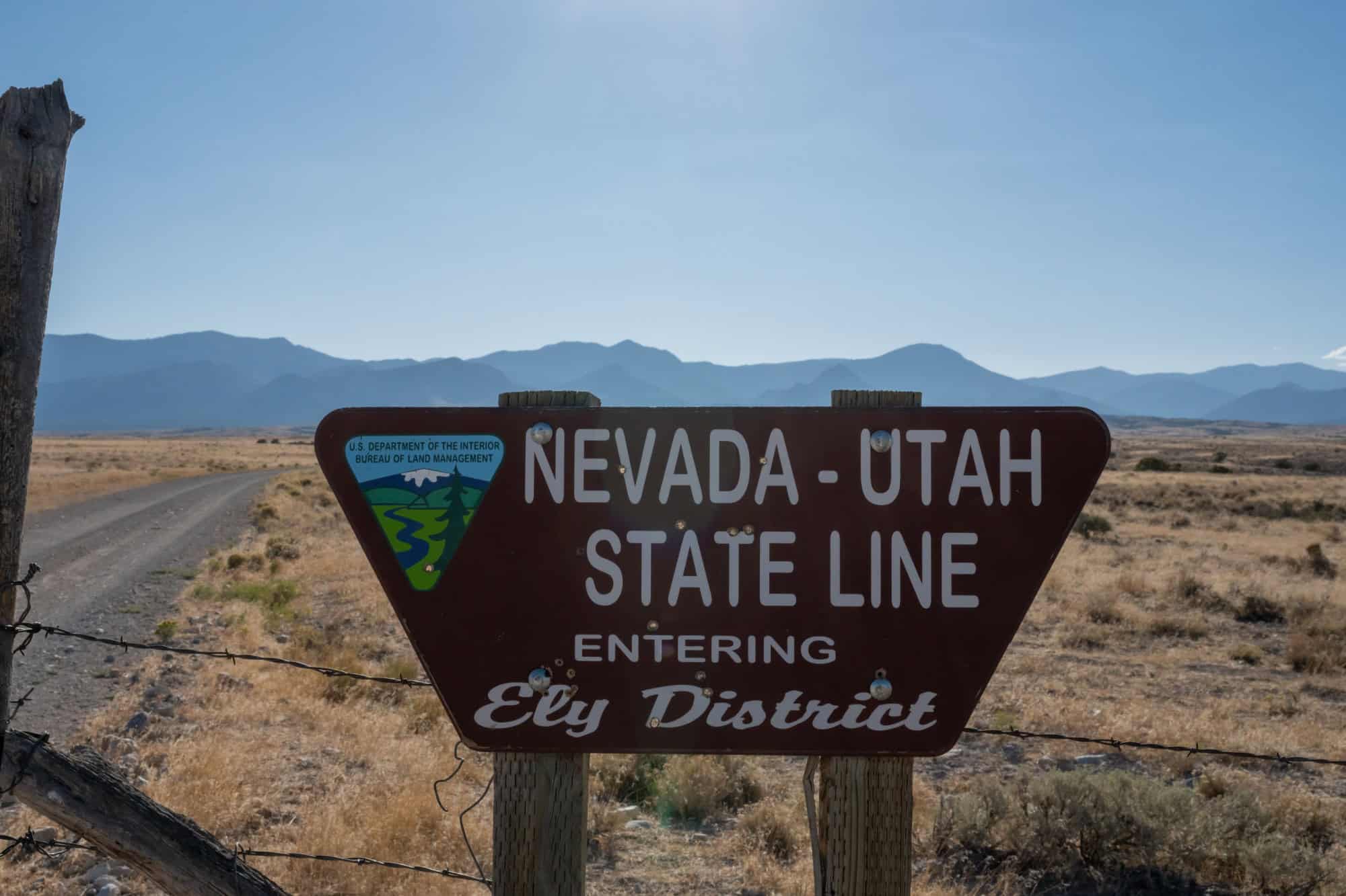 Image Credit: Shutterstock.
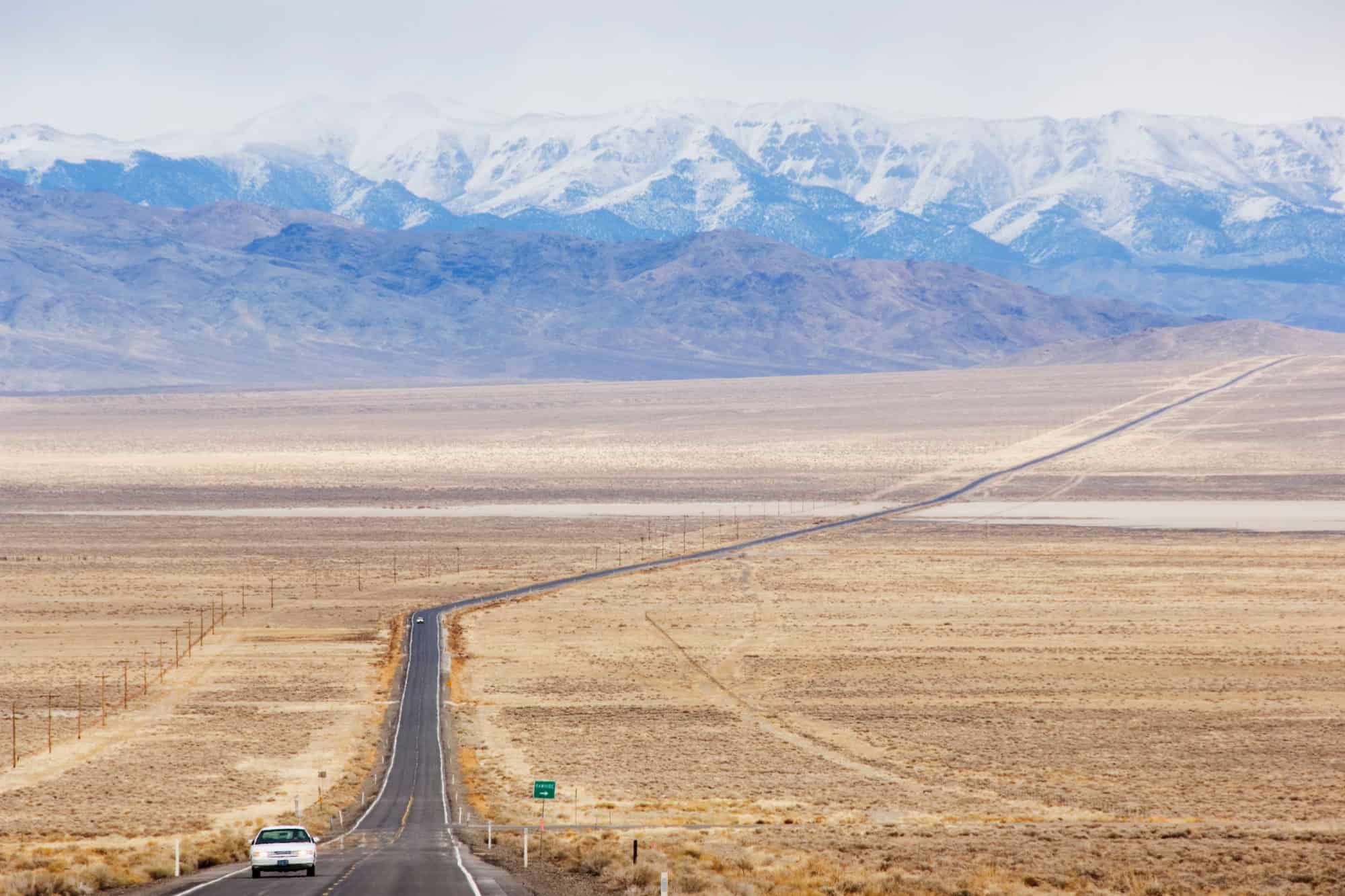
The highway itself is a little over 400 miles across Nevada. The Nevada section goes straight through the middle of the state, starting near Carson City by Lake Tahoe. It then goes east toward the Utah border, and along the way, it passes Fallon, Austin, Eureka, Ely, & finally Baker. These towns are tiny compared to most highway pit stops.
Once you’re past Fallon, the road opens up relatively quickly, although cell service is practically non-existent. As for the distance between them? It’s no joke. You’ll see more jackrabbits than gas stations for some of the longer stretches.
Towns that anchor the drive
Each town has its own role on the route:
- Fallon is the last sign of suburbia before the emptiness kicks in
- Austin sits on a hill & still has old mining buildings in its slopes
- Eureka calls itself the “Friendliest Town on the Loneliest Road”
- Ely is a crossroads town where a few highways meet
- Baker opens up to the Great Basin National Park
But all of these are spaced out far enough that each stop feels as though you’ve achieved something.
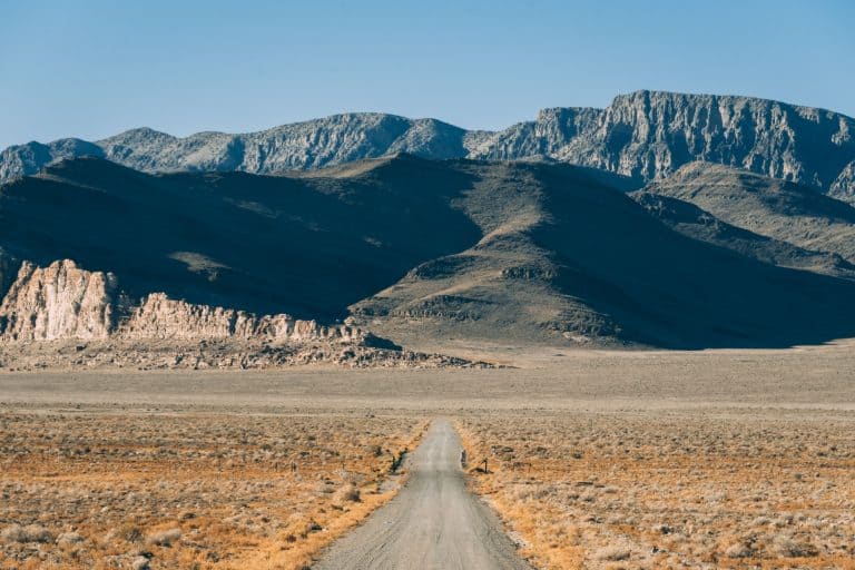
Tricky terrain
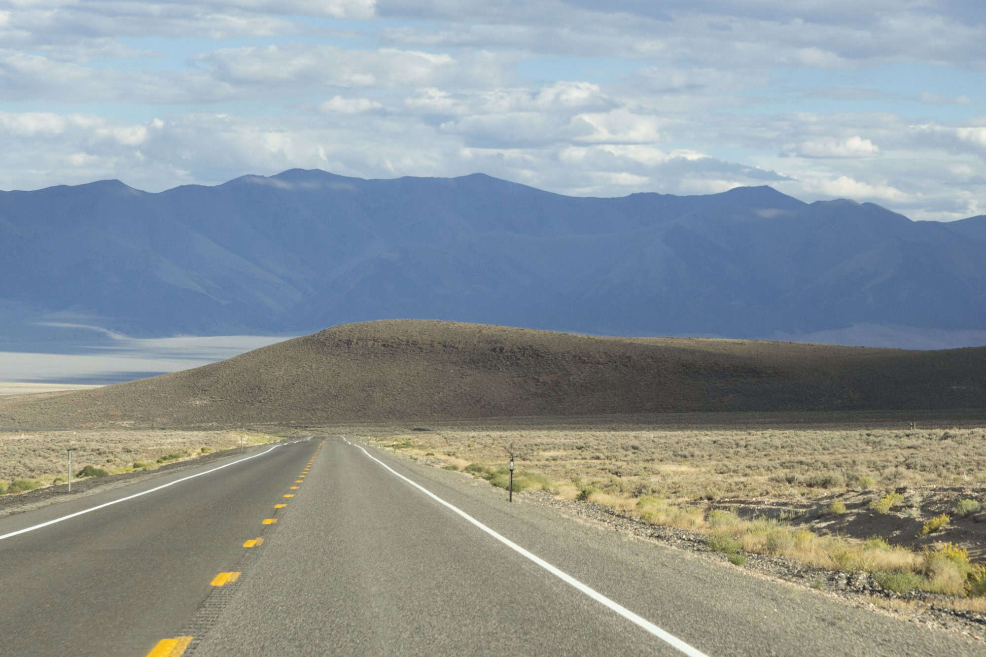
Image Credit: Shutterstock.
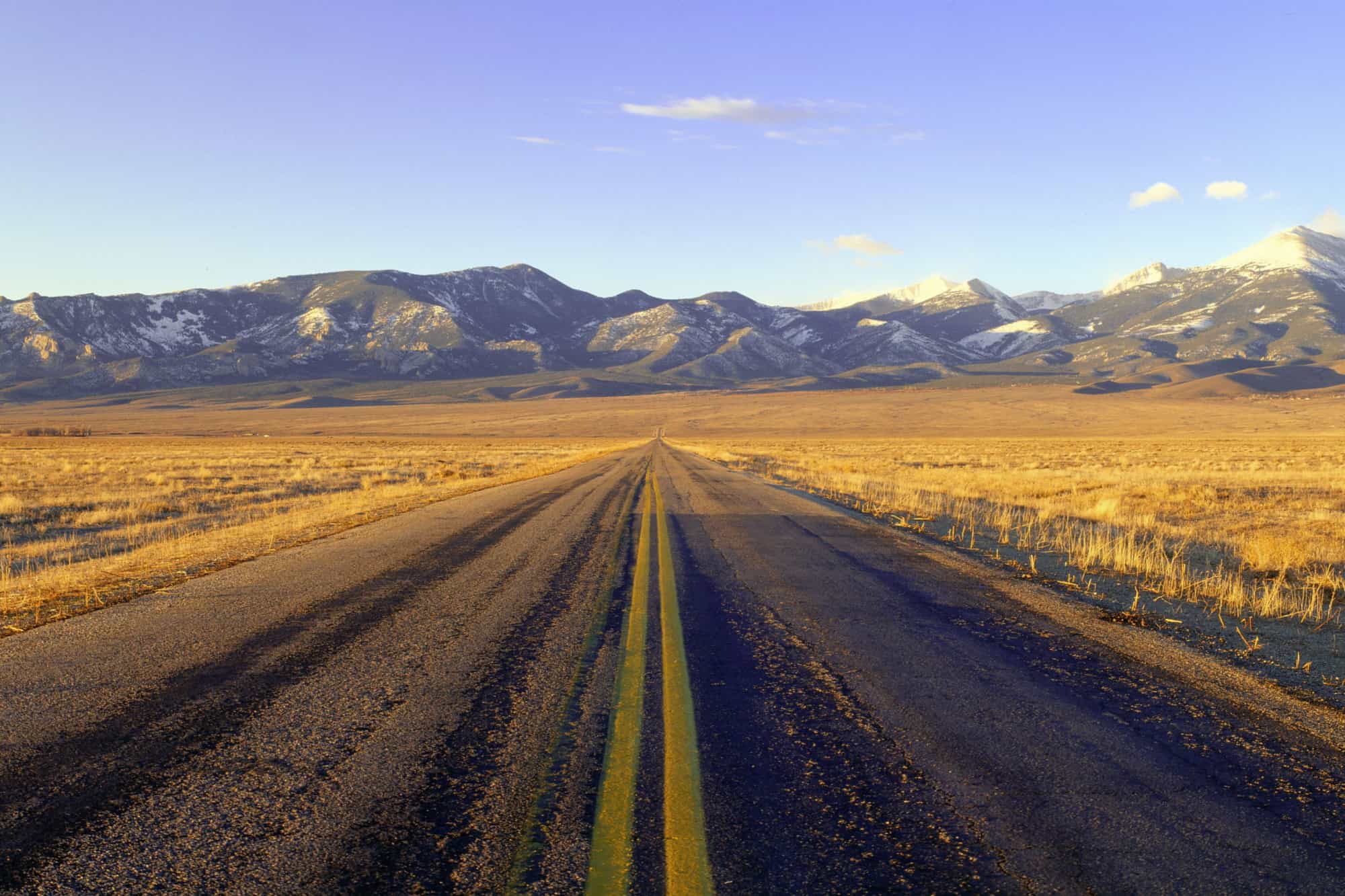
The terrain also isn’t flat because Nevada’s geography includes a lot of basins & ranges. As a result, U.S. 50 goes up & down constantly, and you’ll cross a dozen mountain passes, with more than half of those being above 7,000 feet. It’s not exactly the Rockies. But the climbs are steady, and the scenery goes between dry desert valleys & sharp, rocky ridges over and over again.
Driving through central Nevada isn’t straightforward. But it’s not something to worry about, at least, not without checking a few basics. The state’s rest area map shows where the bathrooms, picnic tables, & water are, which comes in use.
NDOT’s 511 site also gives live updates on closures & weather alerts. This way, you know ahead of time if a stretch is blocked or icy, which is especially important because winter storms roll through rather suddenly.
Historic routes under the modern pavement
Before there were cars, this same corridor carried stagecoaches & mail riders, with parts of the modern highway following the Pony Express route. Later, they followed the Overland Stage. In the early 1900s, it became part of the Lincoln Highway, which was America’s first coast-to-coast automobile route.
East of Austin is Hickison Petroglyph Recreation Area, which is easy to miss if you’re zoning out. But it’s a worthwhile stop. There’s a short walking loop that passes several carved rock panels & you don’t need special gear or a tour to see them. There are also picnic tables and a small dry-camping area that are great for relaxing.
Even a quick stop gives you time to stretch & check out the carvings without messing up your travel schedule. It’s one of the few places along the route where you can get out & explore without detouring far.
Sources: Please see here for a complete listing of all sources that were consulted in the preparation of this article.
Like our content? Be sure to follow us.
